
Insights into successful BIM projects: From point cloud analysis to fully automated modeling
IFC 4.3 as-built model of a road corridor from 449 million scan points, georeferenced in LV95/LN02
For the rehabilitation of Grepperstrasse in Küssnacht am Rigi, the Canton of Schwyz needed a reliable 3D as-built model. AFRY Switzerland scanned with mobile and terrestrial scanners, Bimatic built the model, terrain model and site plan. Every element carries its origin and accuracy as an attribute. The false-colour comparison between point cloud and model showed no systematic deviation.
Client: b-3, owner Canton of Schwyz, survey AFRY Switzerland
Automated classification of point clouds for infrastructure using ML algorithms
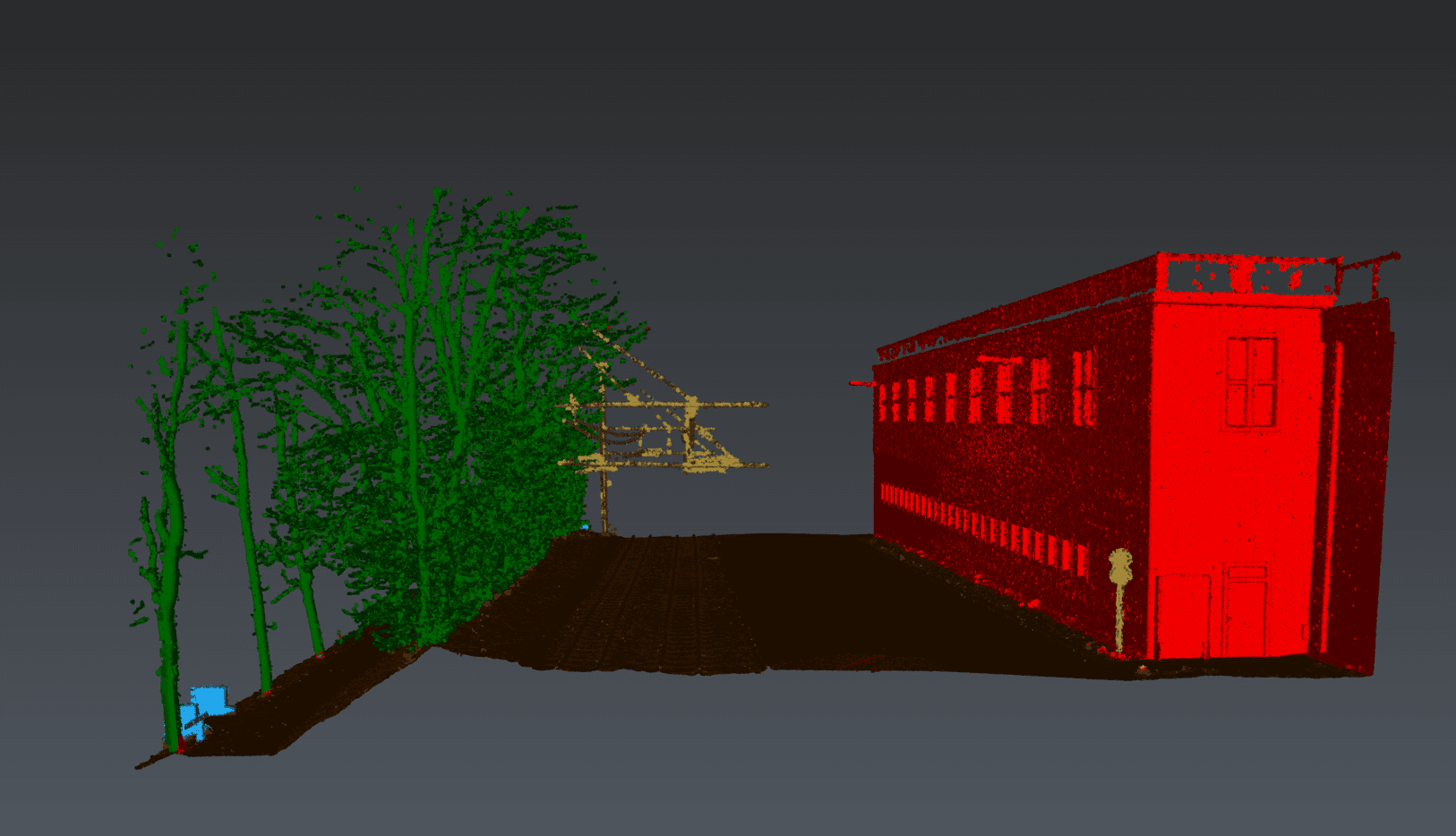
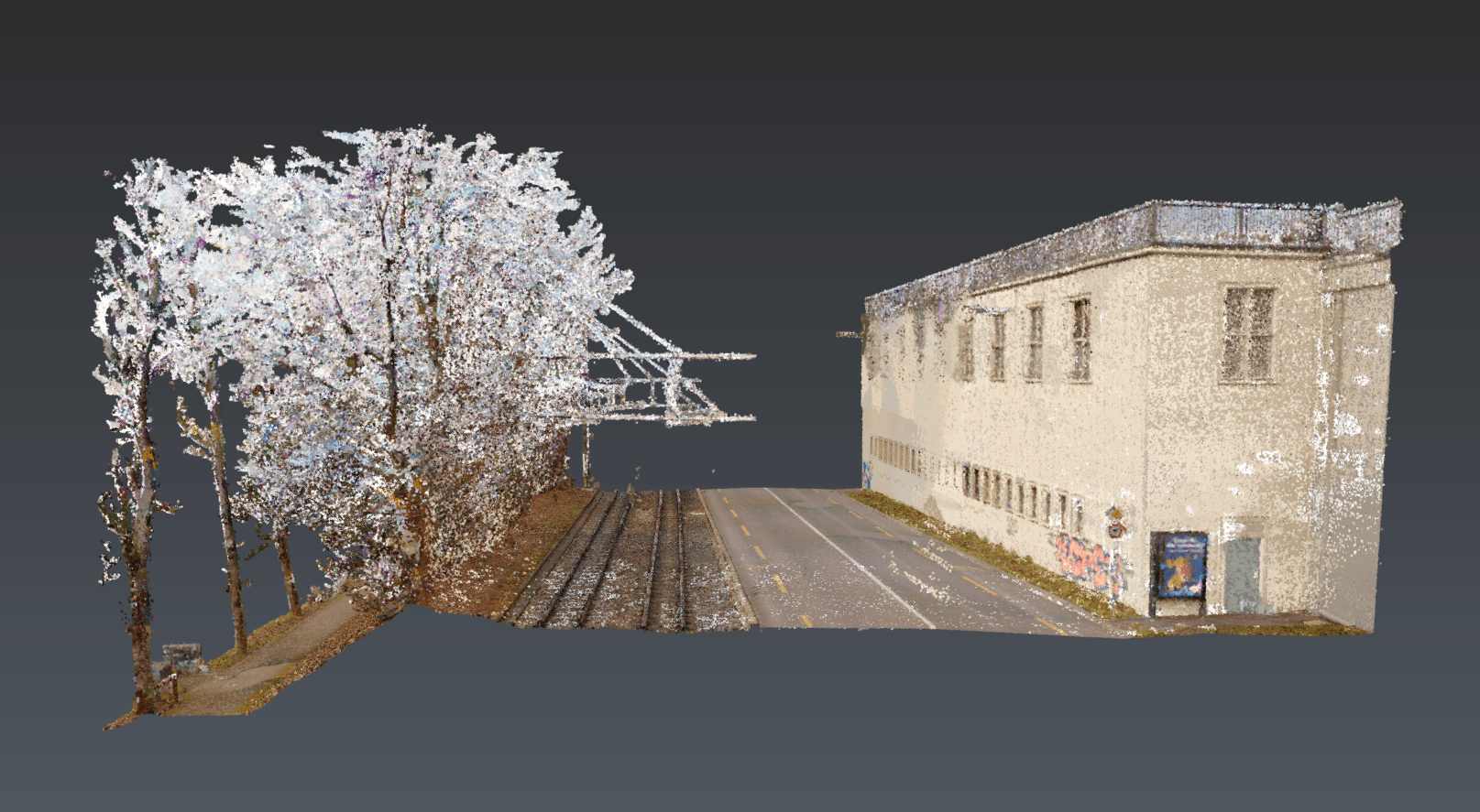
Drag the slider or use the arrow keys to compare both views.
This project demonstrates the use of modern machine learning algorithms for automated classification of large point cloud datasets. The challenge was to precisely separate buildings, vegetation, and terrain for further BIM modeling. Additionally, scripts were developed that simplify the creation of terrain models.
Creation of high-precision DTMs for infrastructure projects with Civil 3D
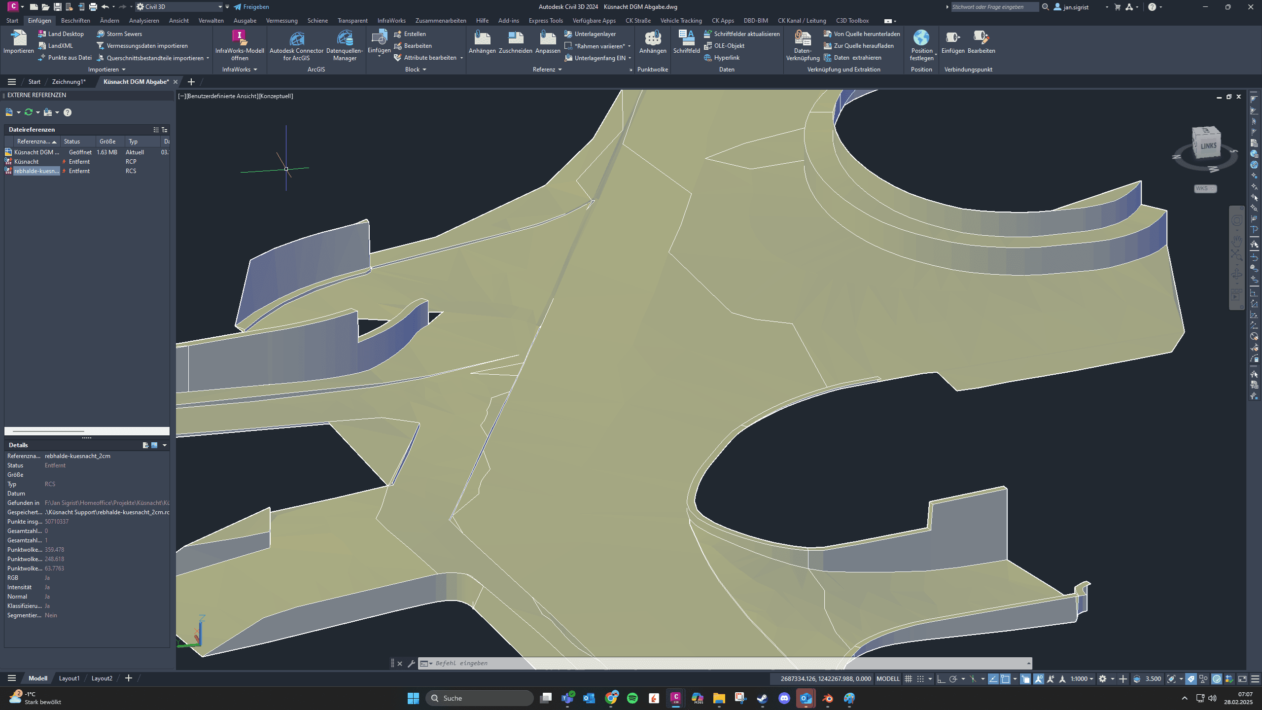
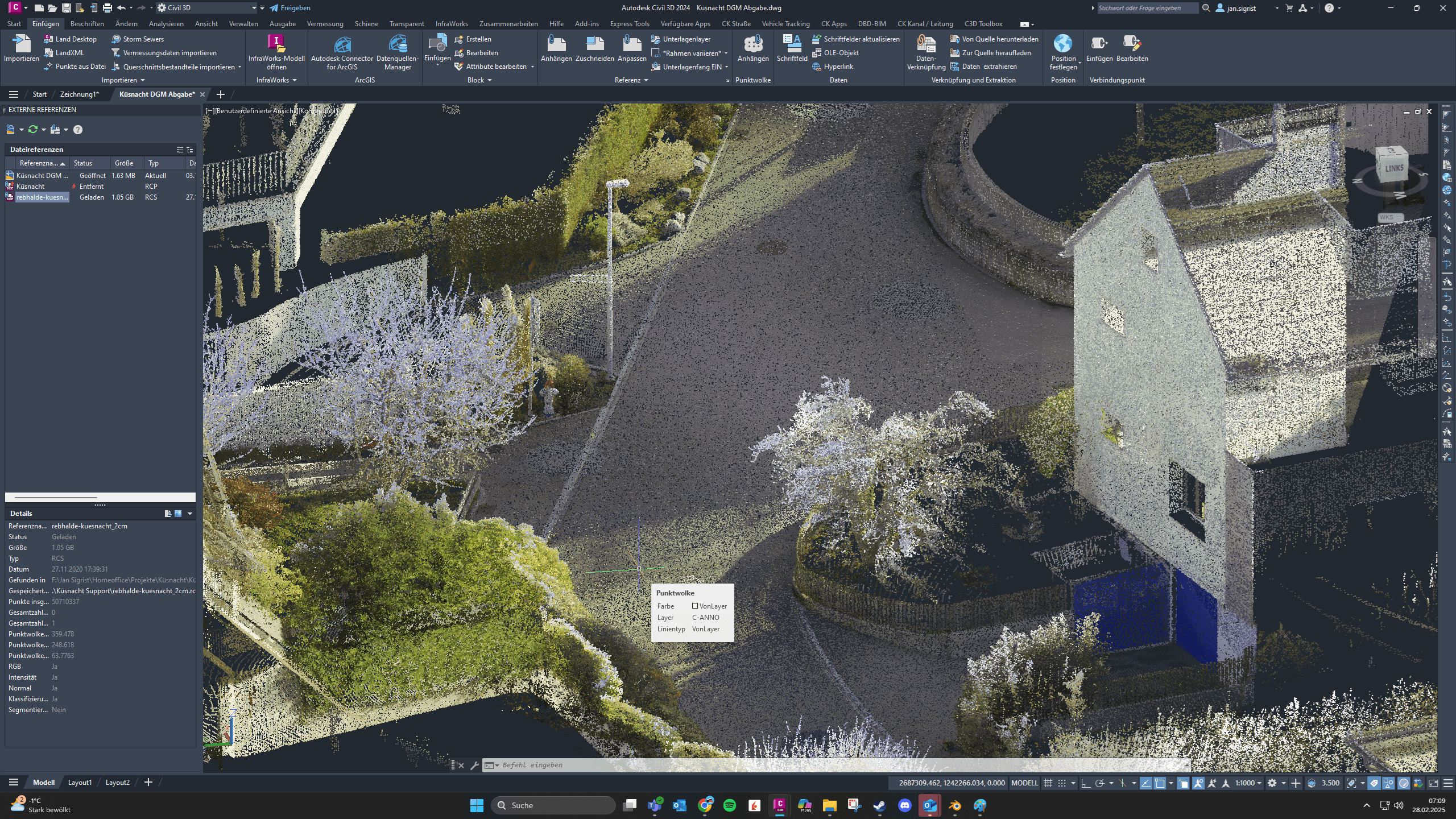
Drag the slider or use the arrow keys to compare both views.
Development of a precise digital terrain model as a foundation for quantity surveying and construction planning. The project included complete road alignment including drainage and cross-sectioning.
Complex automation scripts for Revit and Civil3D with Dynamo
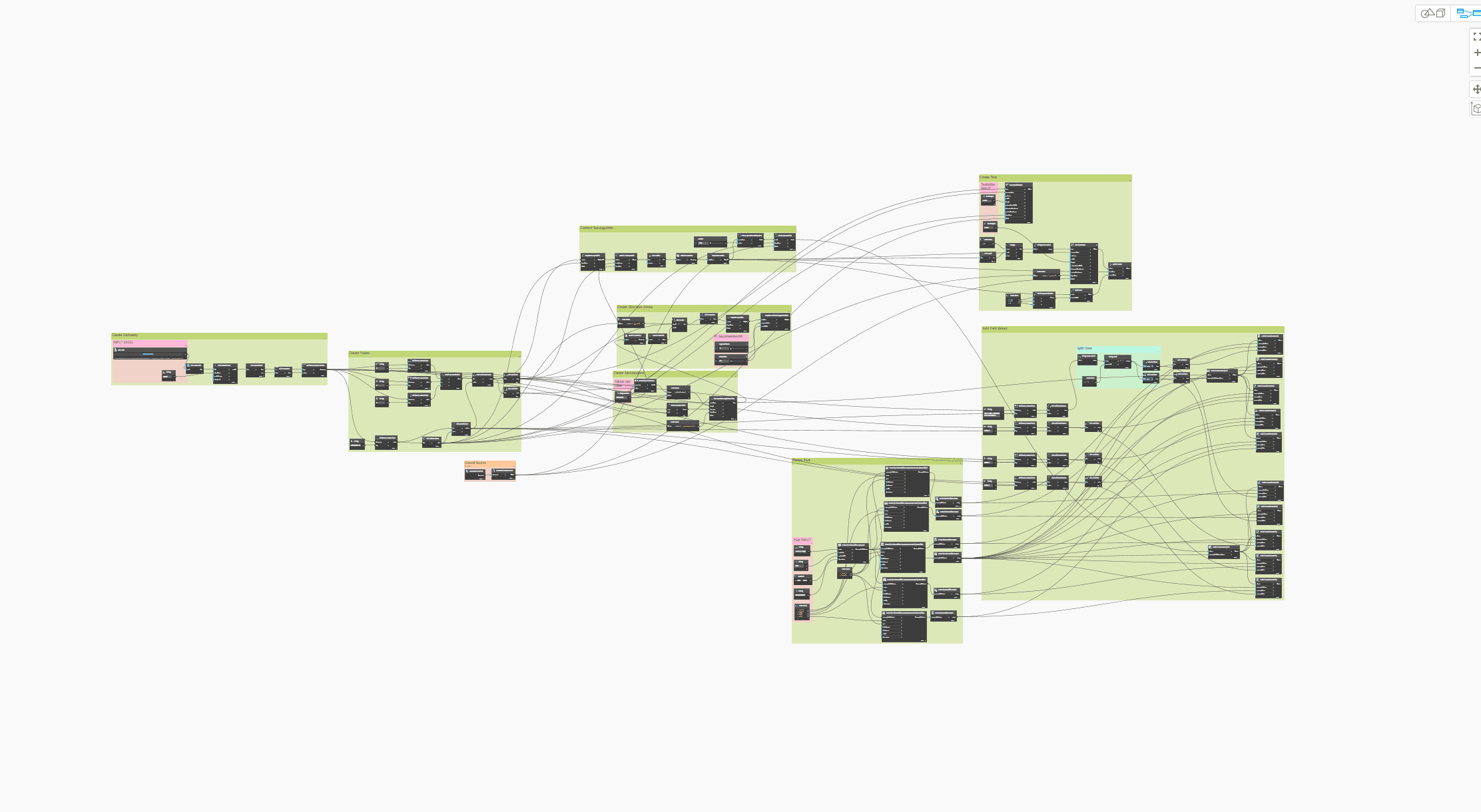
Custom Dynamo scripts for automated evaluation of measurement data and parametric modeling in Revit and Civil3D. The solution reduces manual work steps by 80% and significantly increases model accuracy.
Digital precision verification through DTM and survey data overlay
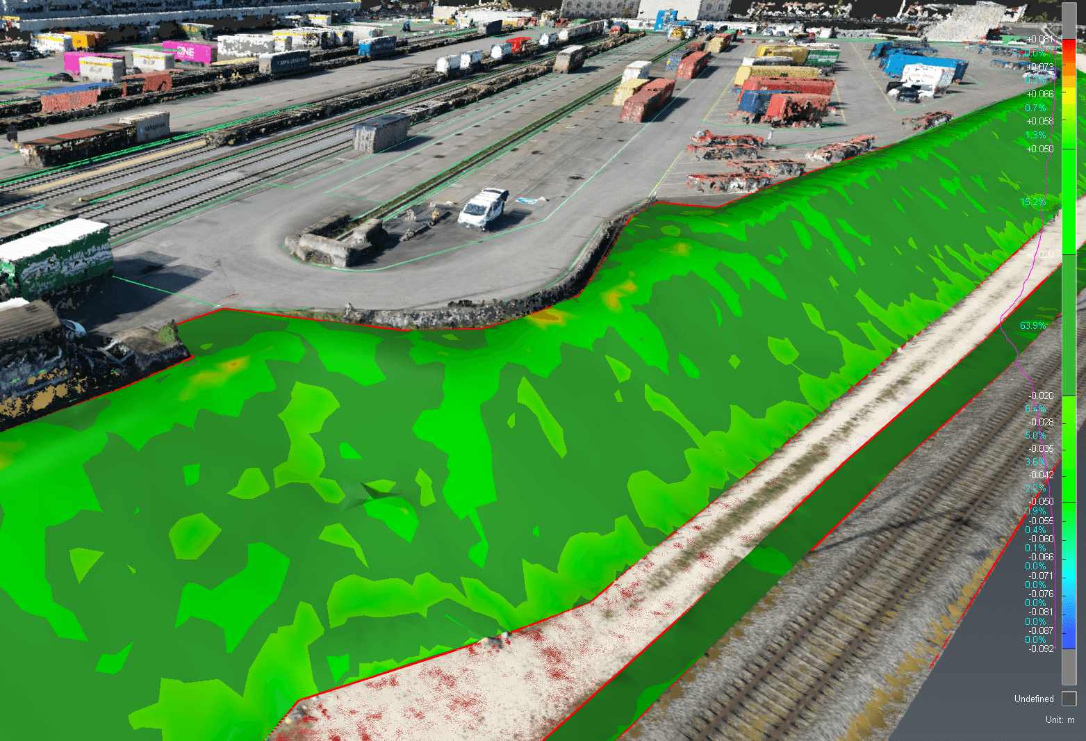
Development of a methodology for digital precision verification in infrastructure projects. The solution visualizes deviations between planned and actual conditions and automatically generates inspection reports.
Integration of IoT sensor data into Autodesk Tandem
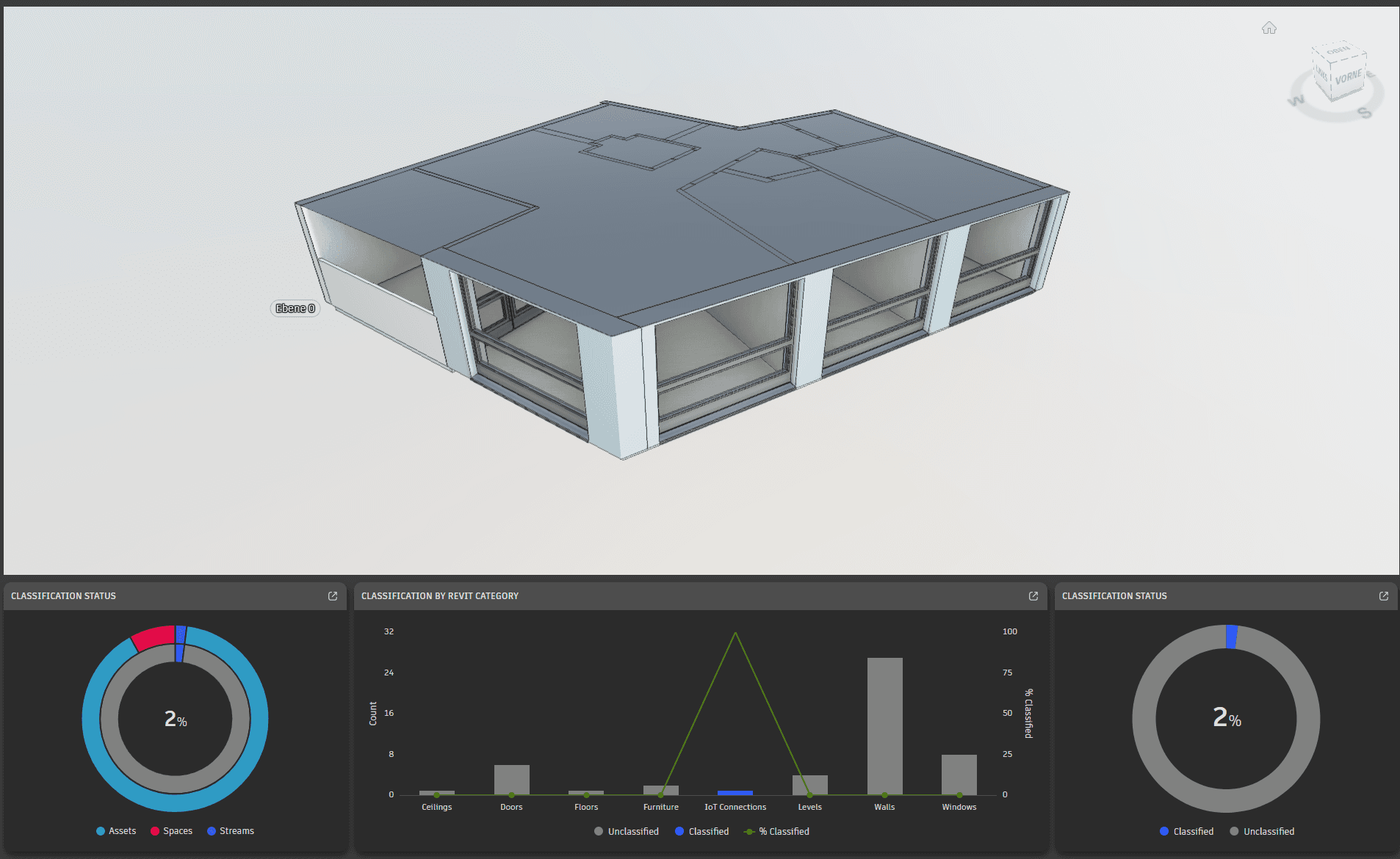
Development of a digital twin with real-time monitoring through IoT sensors. The project enables asset management and predictive maintenance for buildings and infrastructure.
Cleaning and optimization of large point cloud datasets
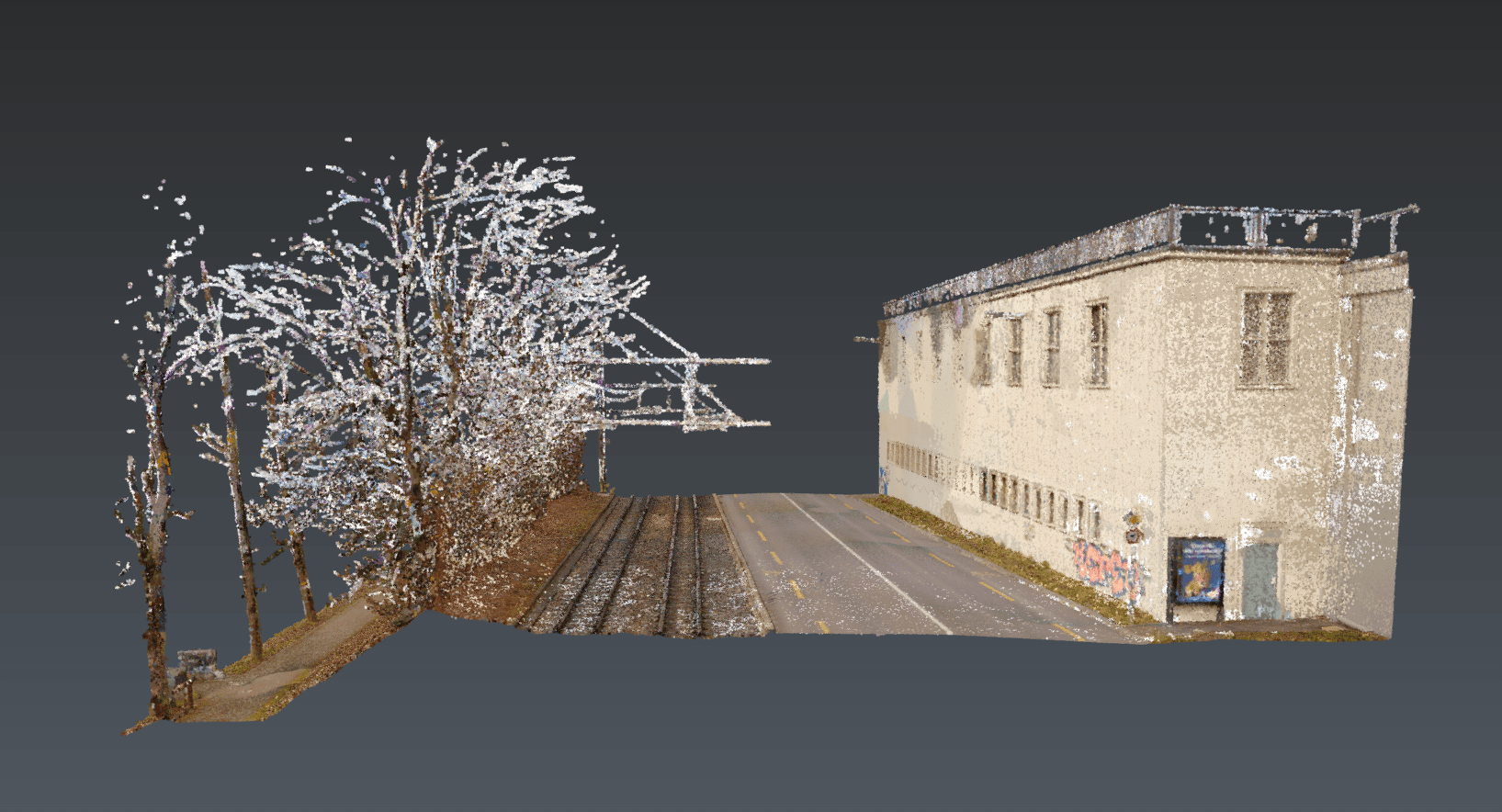
Drag the slider or use the arrow keys to compare both views.
Development of workflows for efficient cleaning of large point cloud datasets. Removal of noise points, vegetation, and temporary objects in preparation for BIM modeling.
Talk to us about your BIM requirements. We develop customized solutions for your infrastructure projects.
Discuss Project